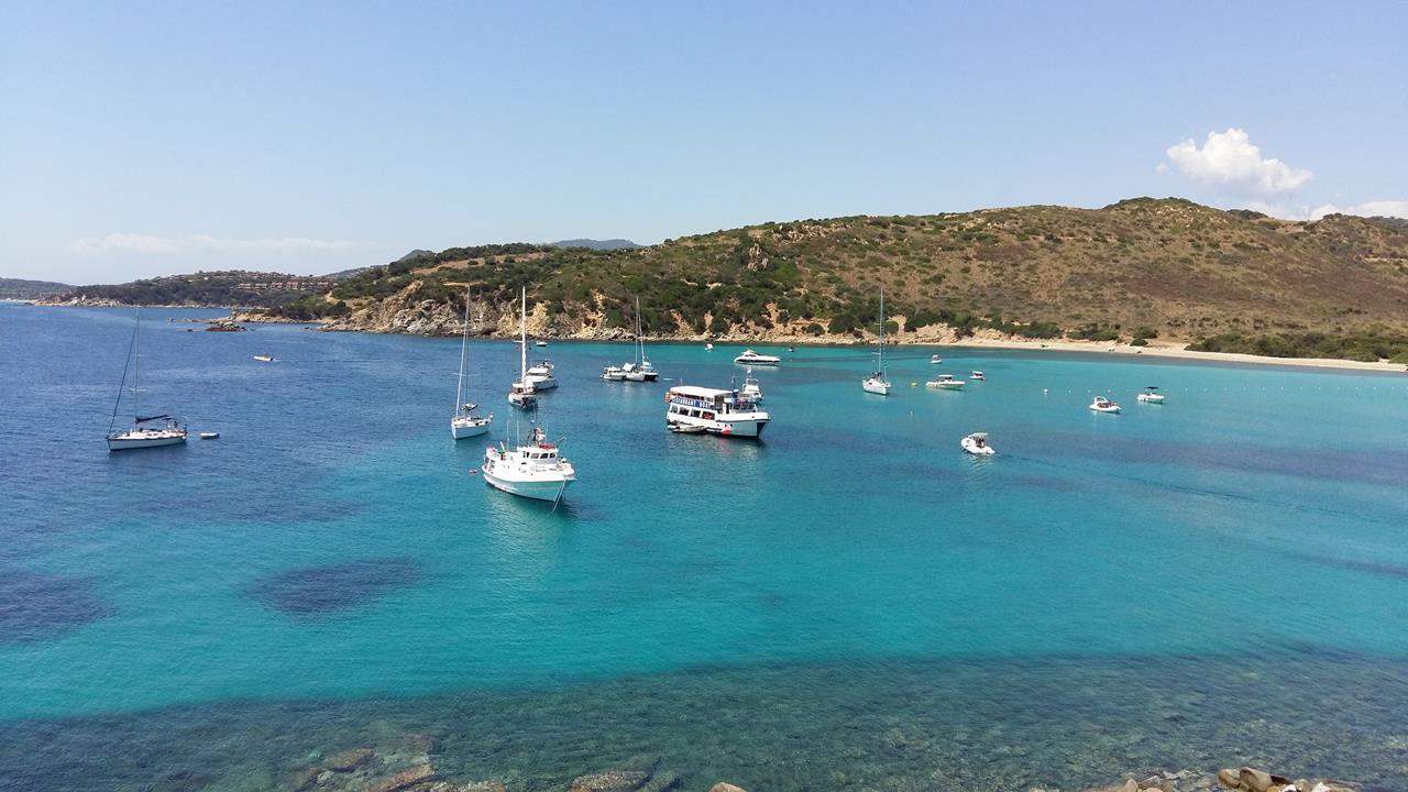
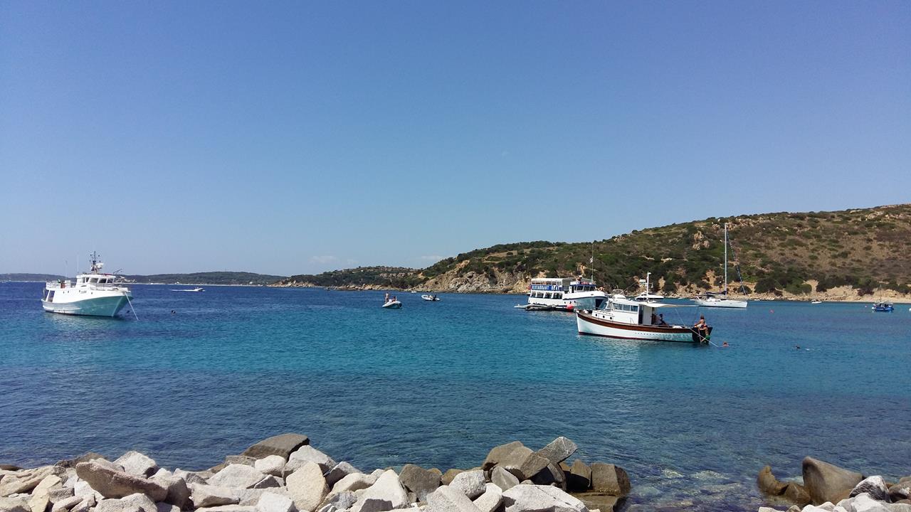
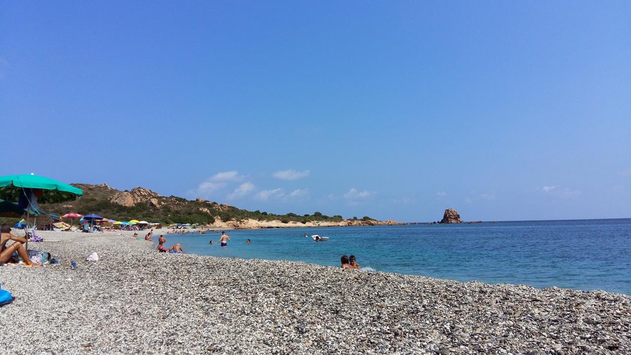
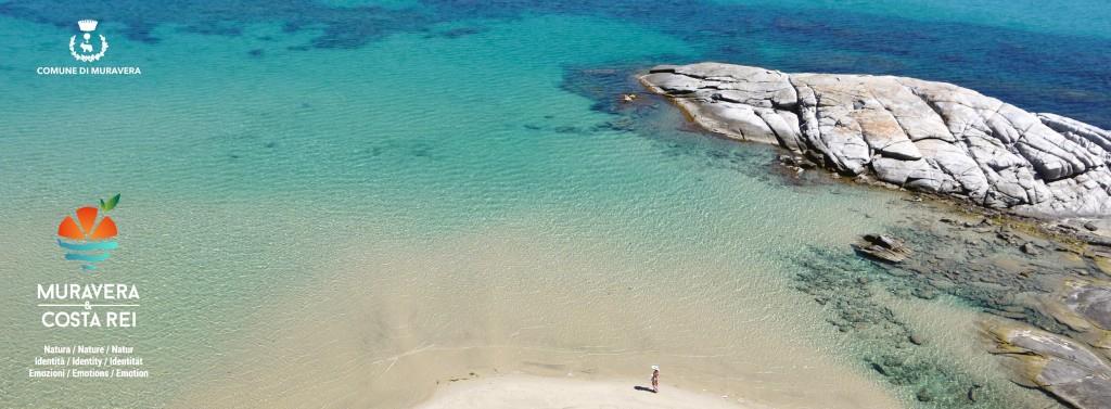
Muravera
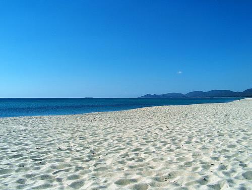
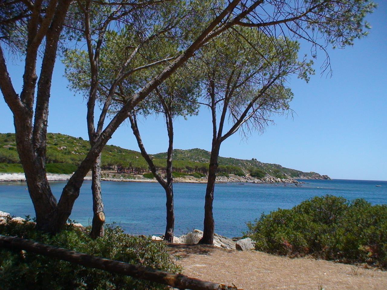
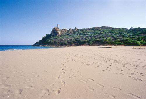
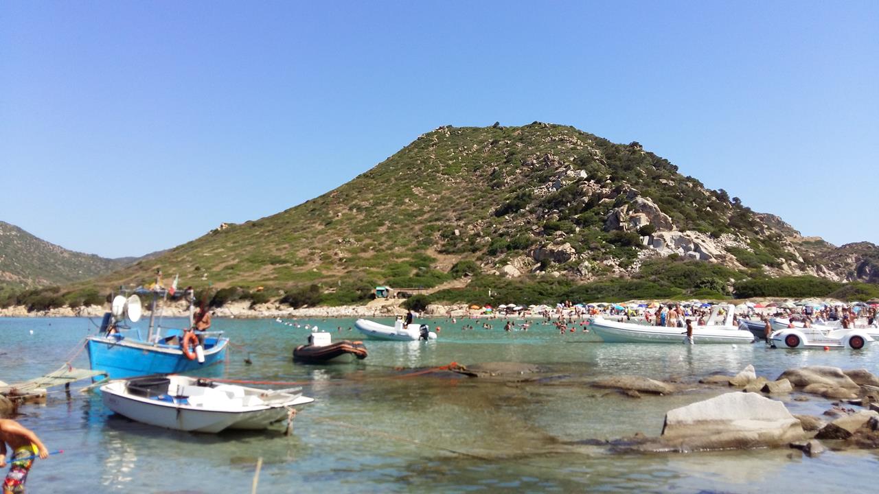
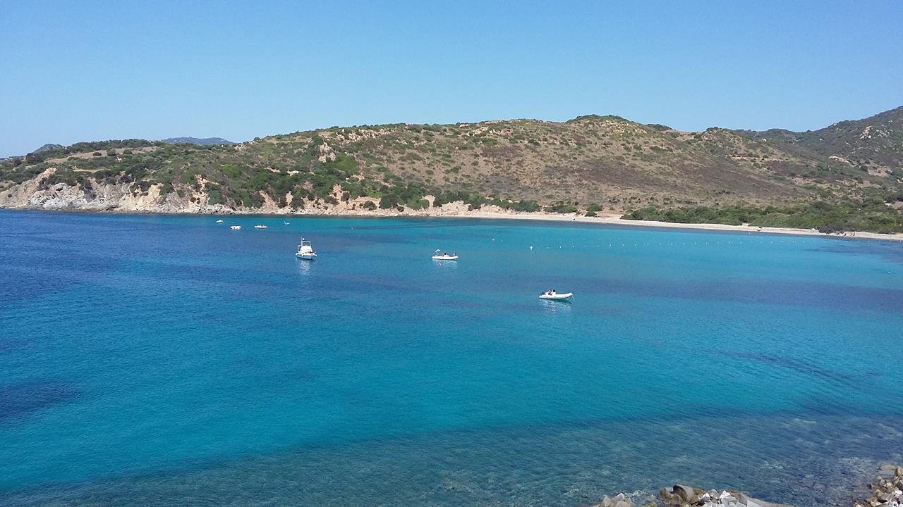
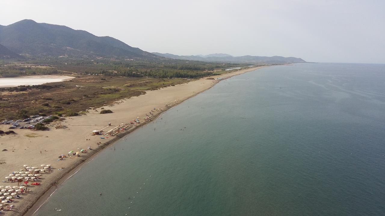
The town was founded in the Middle Ages with the name Murera. Today, this lively town is the commercial pole of the Sarrabus Region. Along the coast we find the magnificent Colostrai beach, Torre Salinas beach, Feraxi beach, Costa Rei, and Villasimius, rich in fish and shellfish and the home of flamingos which can be seen there all year round.
Taking National Route (S.S 125) at the crossroads we can see the Salinas tower on the left and then we arrive at the Colostrai lagoon.
TERRITORY OF MURAVERA
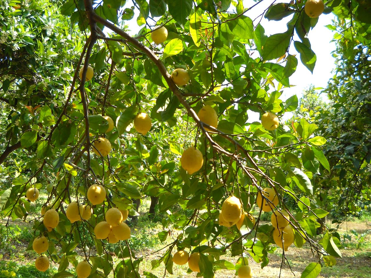
Located in the south-eastern coast of Sardinia, the territory of Muravera is considered the center of the Sarrabus and is about 64 km from Cagliari. Built at the foot of the hills overlooking the sea, its altitude varies from 7 to 20 m, has a mild climate with rains concentrated in short periods of the year, especially in autumn and winter; frequent is the presence of the mistral which makes the humidity less perceptible with temperatures ranging from 10 ° C in winter to 28 ° C in summer.
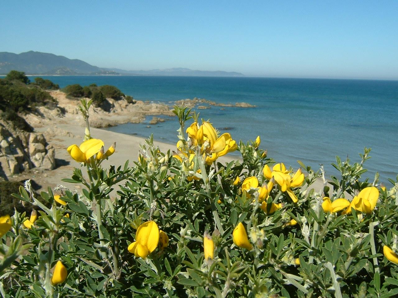
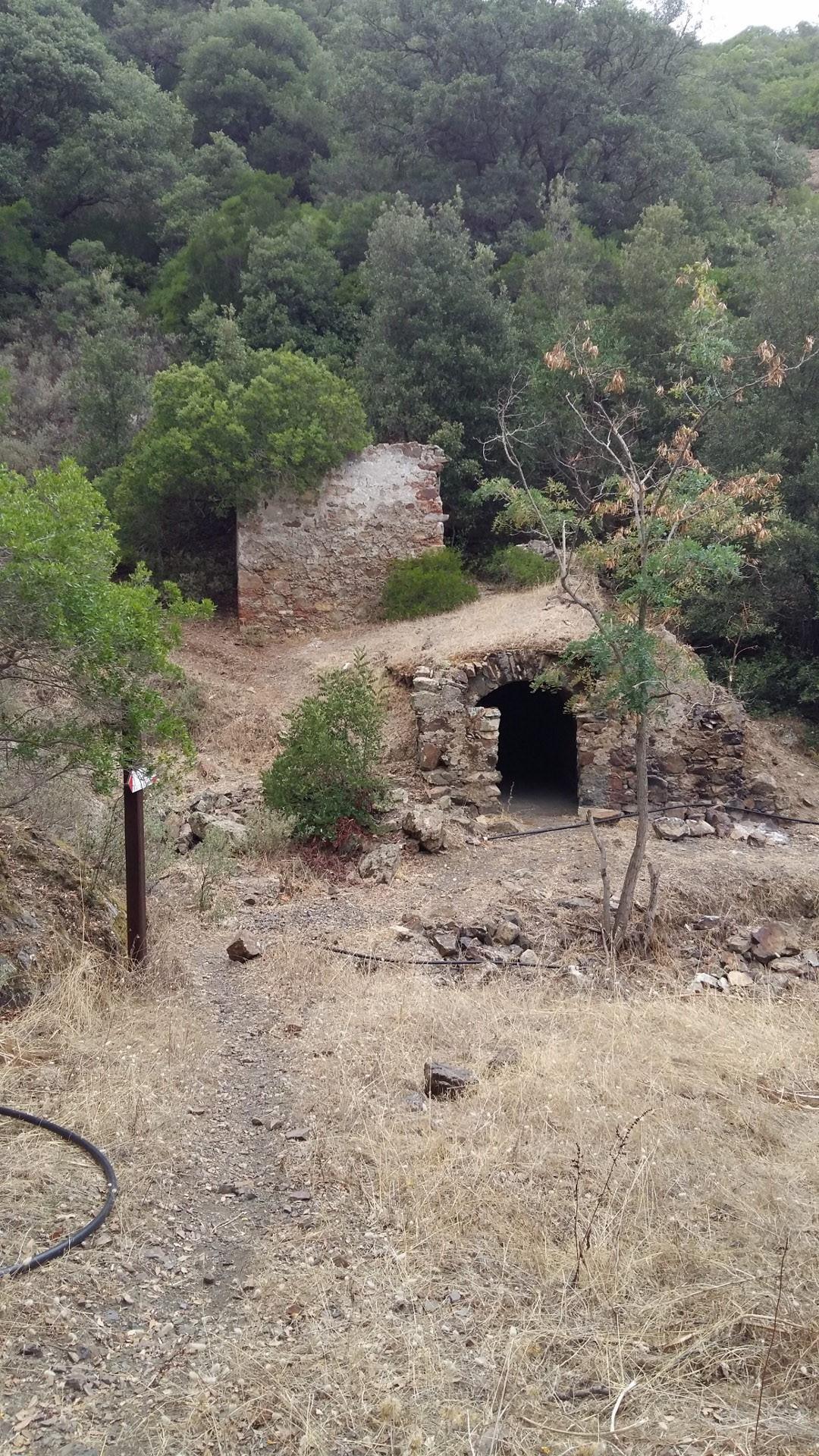
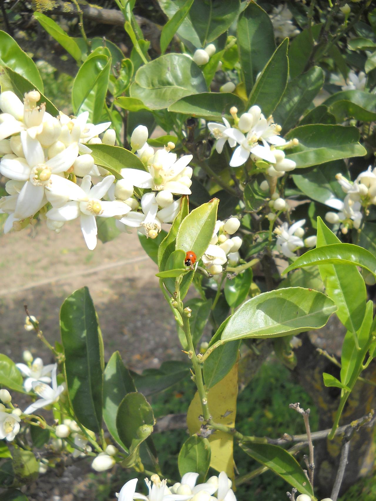
The morphology of the territory is varied, the mountains, developing towards the east and rapidly degrading towards the coast, delimit plains of alluvial origin, furrowed by rivers and numerous streams including the main one is the Flumendosa, once called Soeprus. The mountain ranges almost never exceed 500 m of altitude. The territory, for a long time cut off from the most important roads of communication, can boast today of a particularly fascinating woodland heritage that contains in itself uncontaminated environments where different species of wild animals live, including wild boar, deer and golden eagles and where the flora in the various periods of the year it reserves to the visitors a multitude of colors and perfumes. Of particular interest is the forest of Baccu Arrodas, a dense forest of Mediterranean scrub, where the homonymous mine is located in which antimony and silver were extracted.
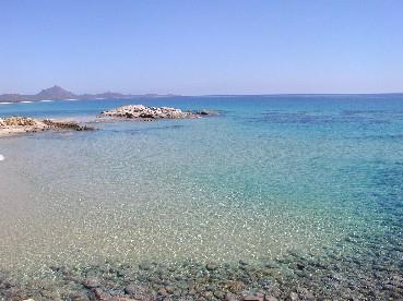
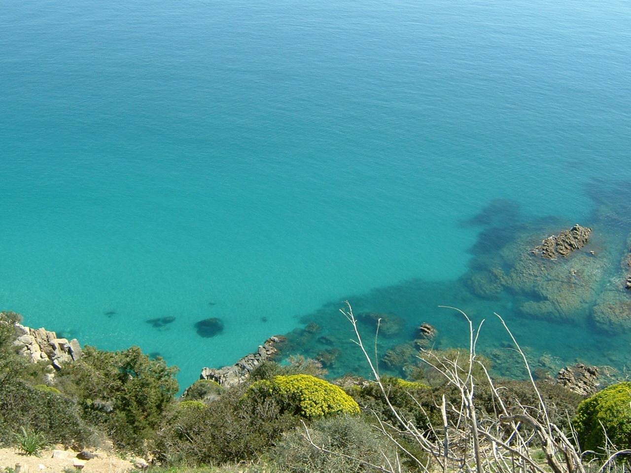
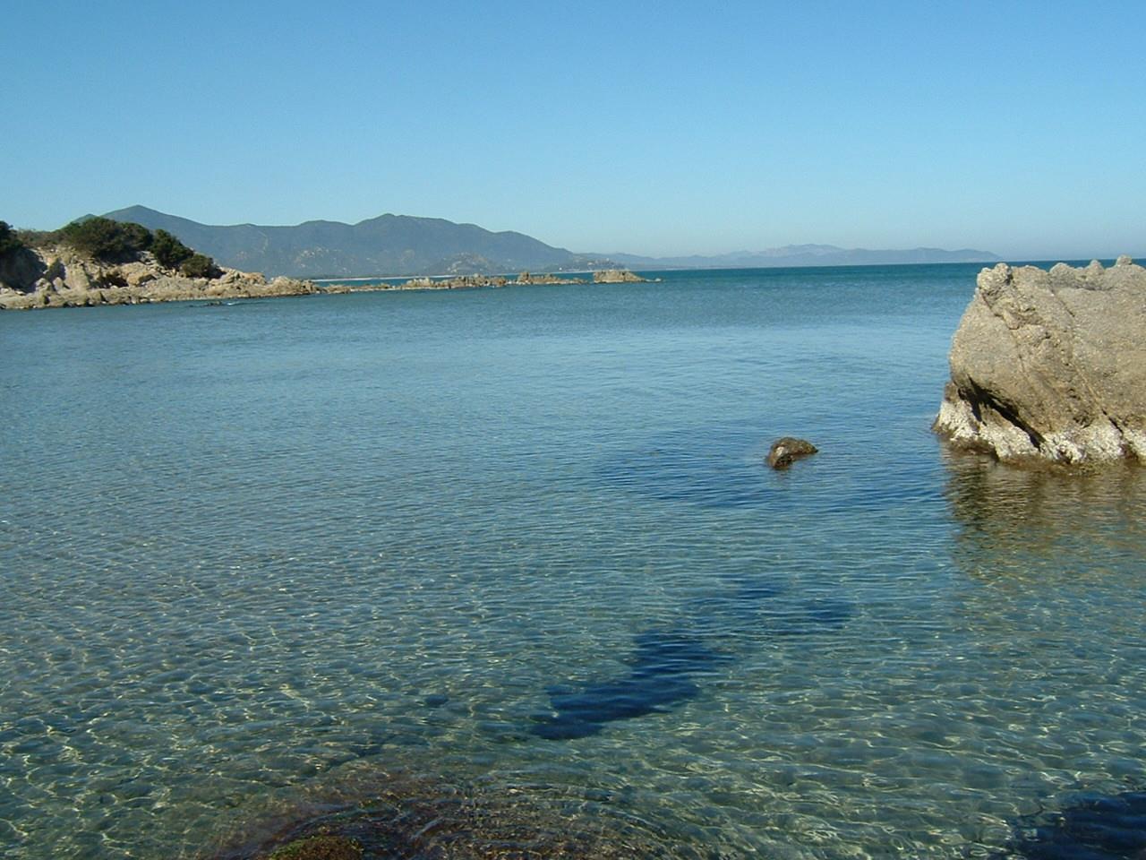
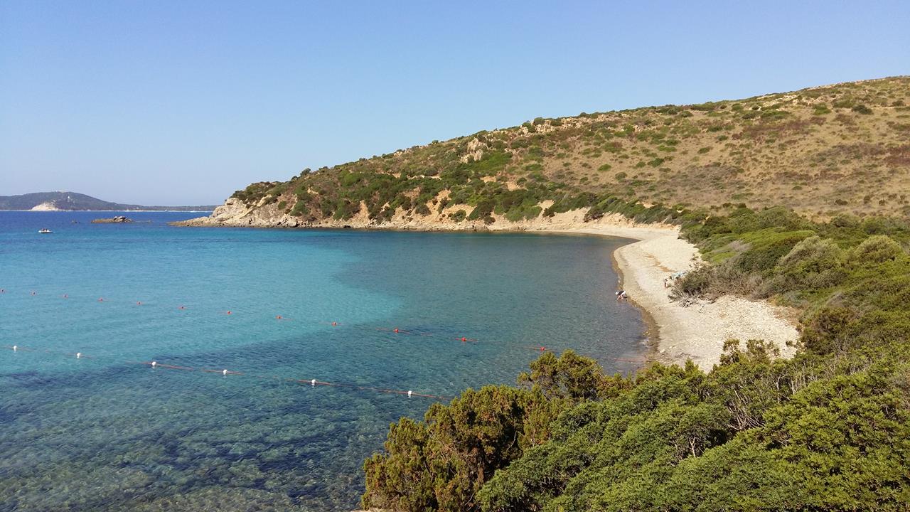
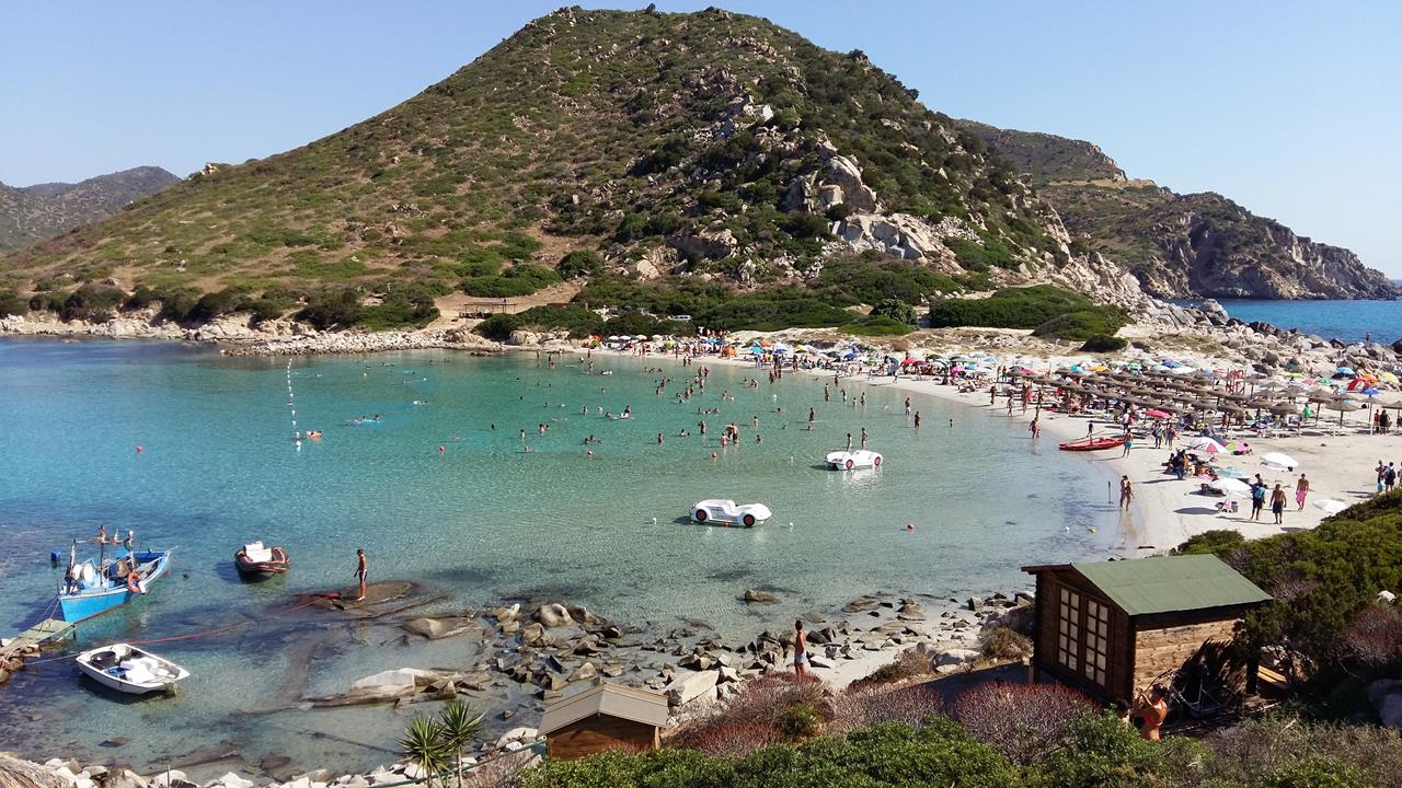
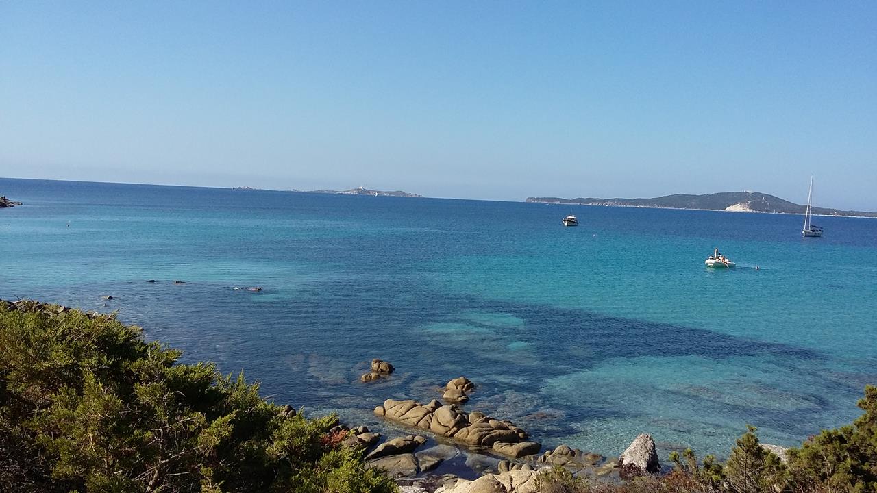
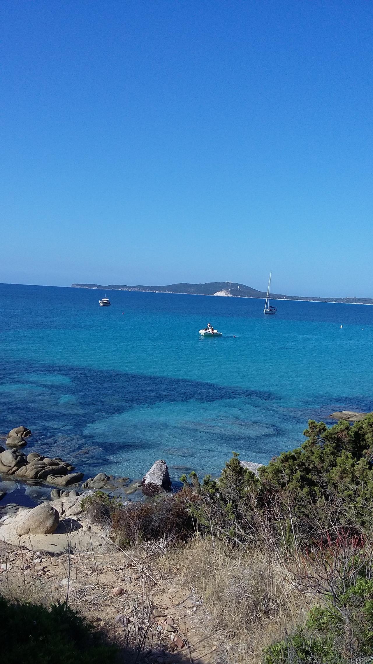
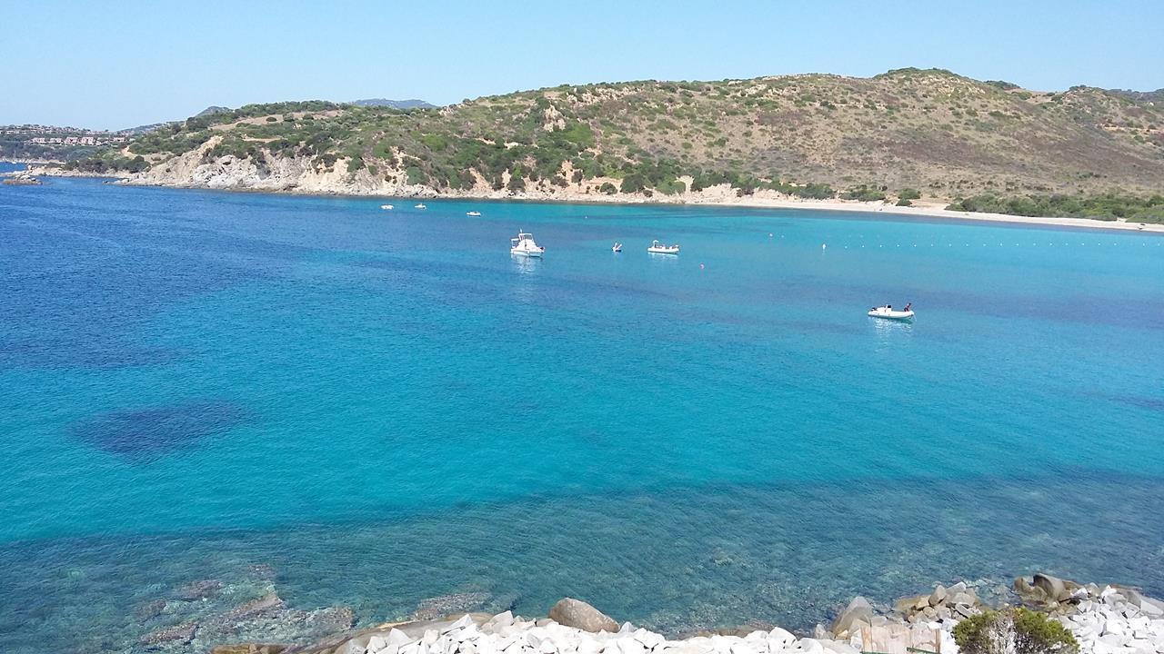
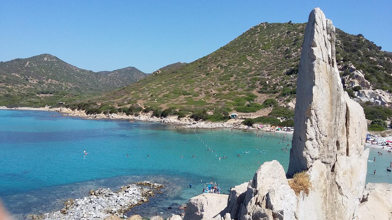
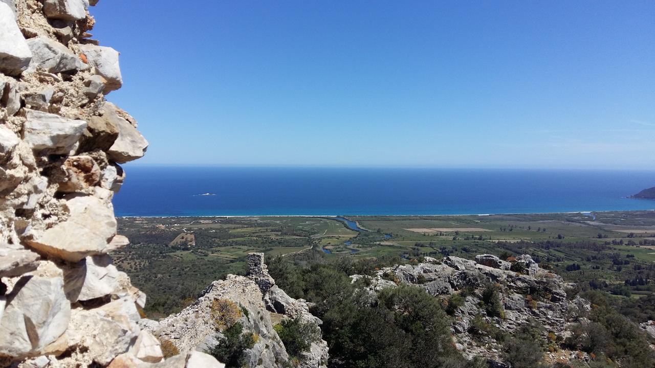
Muravera includes in its territory 69 km of coastline that delimit the territory to the east: from the beaches of Muravera, to those of Torre Salinas, to those of Feraxi and Capo Ferrato and finally to those of Costa Rei, true and propia attraction of the Municipality of Muravera that possesses splendid coasts.
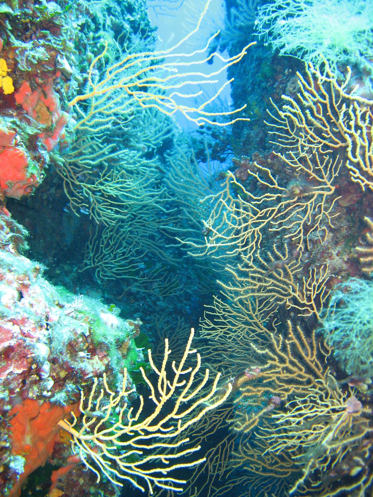
Another natural heritage of great prestige are the Ponds, wetlands of considerable naturalistic interest - mainly due to the presence of numerous species of birds.
The territory of Muravera is rich in historical-archaeological evidence, dating back to the period before the "Nuragic Civilization". There are the domus de janas, ("houses of the fairies or witches") or tombs carved into the rock similar to the dwellings of the living, built near the menhirs and dolmens, isolated or gathered together in a necropolis, whose simple or complex structure varied in size. The janas, according to legend, are small fairies, sometimes good other bad and spiteful, who lived in small holes dug into the rocks (the so-called domus de janas) and went out only at night to not ruin the white skin with the rays of Sun. It is said that they were skilled weavers and possessed and kept hidden treasures inside caves.
In the third millennium BC Sardinia and our territory are affected by the megalithic current of Northern Europe, of which today we can still visit the menhir complexes, almost completely intact, represented by granite slabs stuck in the ground according to complex modules. Their construction is to be connected to religious purposes relevant to the solar cult, were sacred places for the Nuragic tribes for which they represented both the male deity and fertility in the worship of their religion.
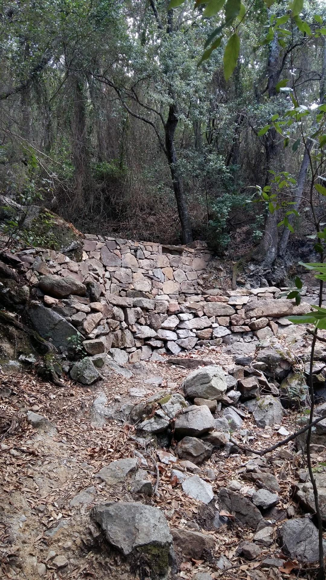
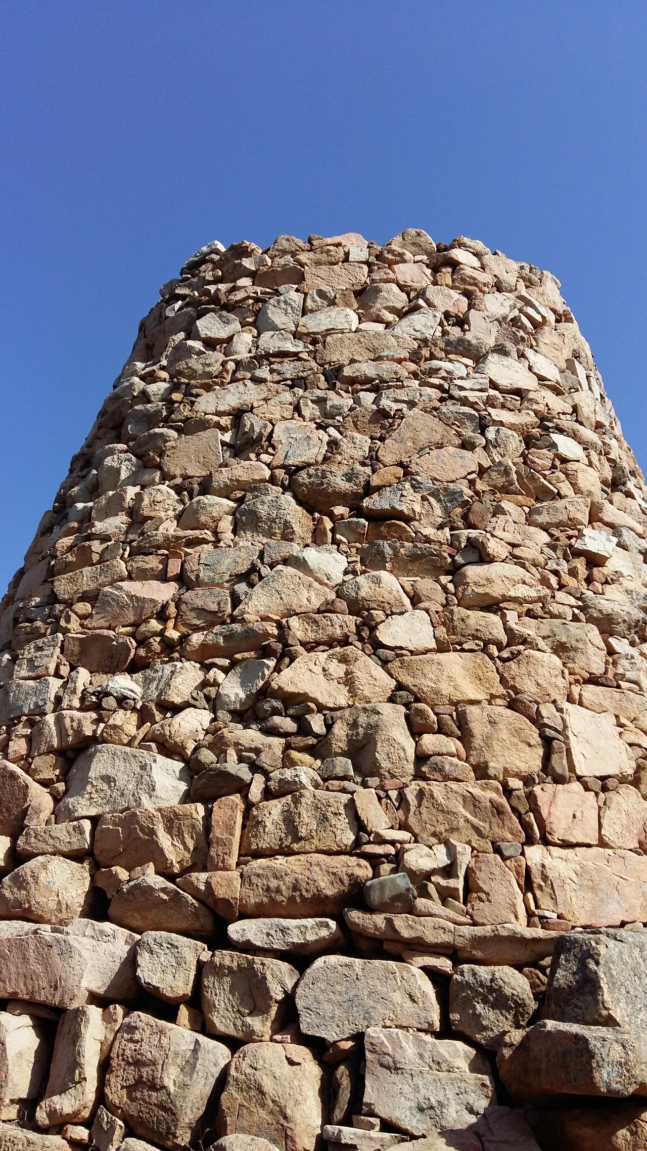
Near the Menhir complexes we can find, well preserved, the remains of the Nuraghe, mysterious structures of prehistory, having military, funerary or housing functions, and to reach them it is often necessary to take wonderful paths that allow you to appreciate the many floristic species of the territory.
Frequent next to the Nuraghe is the presence of tombs, individual or collective, built in masonry and formed by a cell, a corridor and an entrance, with functions of ceremonial area.
Remains of the Punic Age can be seen in the only surviving example of the Fortress of "Baccu di Monte Nai" dating back to the fifth century. B.C. The work of colonization by the Romans, occurred in the first century BC, is present in the remains of various villages. The settlements, in this era, were built along the coasts, good landing point for ships, or near the megalithic complexes considered places with a particular mystical appeal.
Domus de Janas of Monte Nai - Costa Rei
It is located in the subdivision of Monte Nai, inside a tourist village, near the slopes of the homonymous mountain. Also called hypogeal tomb is a bicellular burial, excavated in granite and formed by two cells which are accessed through an opening of modest size. Inside there are no traces of work on the walls that, on the contrary, are well polished.
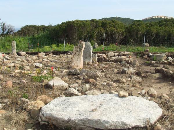
"Cuili Piras" megalithic complex
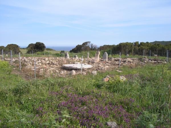
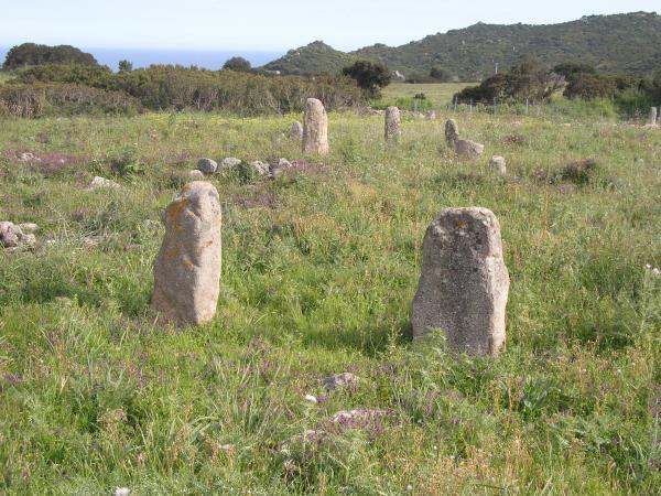
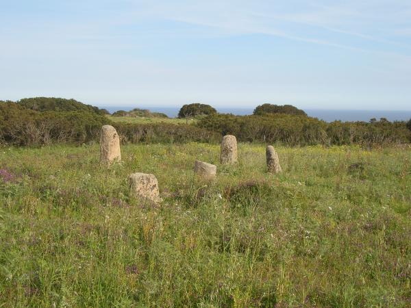
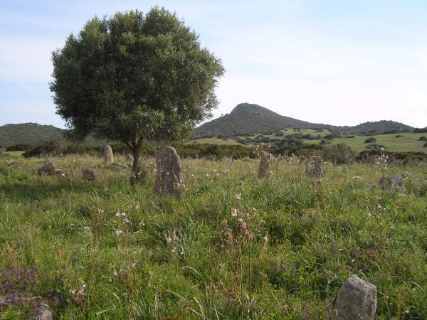
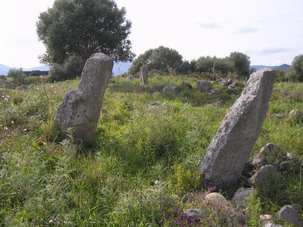
Located in the locality "Cuili Piras", on the Provincial Road that leads to the tourist area of Monte Nai, inside a private property, this archaeological site is easily accessible. The complex is in good condition, is composed of 53 menhirs formed by granite slabs, arranged in aggregates of 3-4-5 elements is divided into three distinct plants. Used as an astronomical calendar of extremely precise stone but also for religious purposes, the megalithic complex due to the particular position and the distance with which the menhirs are located, presents numerous similarities with the megalithic settlements of France and Great Britain, in particular with the famous Stonehenge complex. In the same area, immersed in the Mediterranean scrub, there are the remains of the nuraghe "Cuili Piras" of which it is clearly visible the entrance, part of the central tower and some remains of the walls.
Megalithic complex of "Piscina Rei Costa Rei"
Near the pool of Piscina Rei, about 200 meters from the beach of Costa Rei, you can visit the homonymous megalithic complex, dating back to about 5000 years ago. It consists of 22 granite menhirs arranged in aggregates, of which five are still in the original position, while the others have been put back into an upright position during an archaeological work. The peculiarity of this archaeological site of modest size is found in the presence of a block of granite probably used with functions of sacrificial macaw given the presence of a cavity suitable for the collection of liquids. The studies carried out on this site, as in that of "Cuili Piras" have highlighted the importance of this megalithic complex not only for its astronomical functions but also for the historical and archaeological value of the sacrificial altar used until the Roman age. This complex was superimposed in Roman imperial age by a village called "Susalei", built between the second century. and the III century d.C comprising the area near the pool of Piscina Rei and the location "Ibba Sa Cresia". Near the pond there were large circular plant huts, while in the west "Ibba Sa Cresia" there were the most important buildings of the settlement, of which today there are still the masonry structures consisting of squared blocks of sandstone. To the east of the village there was a necropolis consisting of cremation tombs similar to those of the "Casa Murgioni" necropolis in Feraxi.
"Nuraghe Scalas" megalithic complex
Located on the eastern edge of the "Pranu sa Siliqua" plateau, on the top of a low rocky granite ridge overlooking the Costa Rei. It is the best preserved Megalithic complex in Sardinia, and has been declared of important archaeological interest with the Decree of the Minister Secretary of State for Cultural and Environmental Heritage. Composed of 43 menhirs, arranged in groups of 3-4-5 elements deeply embedded in the ground in the original orthostatic position. Their function is still uncertain but still connected to astronomical functions.
About 200 meters from the complex there is a Nuraghe dating back to the late Neolithic period. It has a semi-circular structure consisting of large and medium-sized stones arranged in irregular wall rows. It is thought to have been used for metallurgical activities since primary fusion slag was found nearby.
"Baracca Su Entu" megalithic complex
Located in Feraxi and is composed of 25 menhirs formed by large slabs of granite and placed in a horizontal position of which 22 still in their original position. In the Imperial-Roman era, in the area of the megalithic plant, a village called "Porto Sipicio" was built, consisting of circular-plan huts; not far from the village there is an extensive necropolis called "Casa Murgioni" consisting of superficially implanted cremation tombs which are now almost destroyed. In this necropolis we can still see some betili, small sculptures without representation, which had the function of delimiting the city of the dead and inviting the living to honor them.